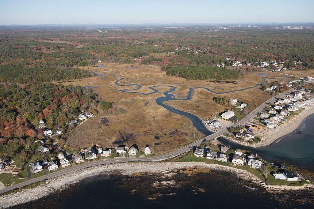
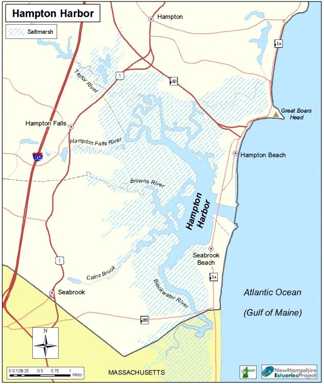
Discover the Hampton-Seabrook Estuary
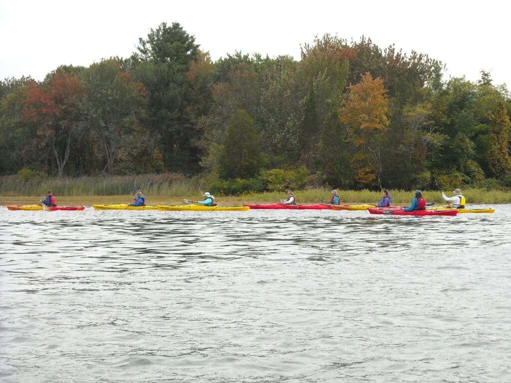
Home to the state’s largest contiguous salt marsh, an extensive sand dune system, and the most productive clam flats, this amazing place is full of natural beauty, provides homes for wildlife, and is great for outdoor fun.

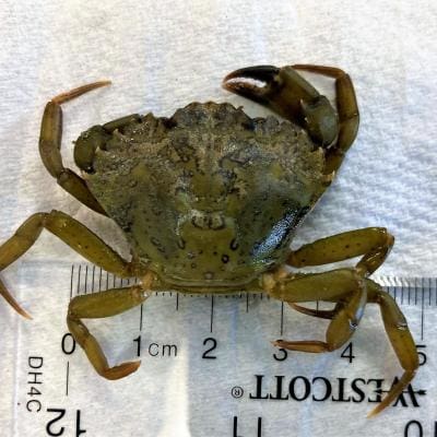
The Estuary provides Diverse Coastal Habitat for:

Softshell Clams
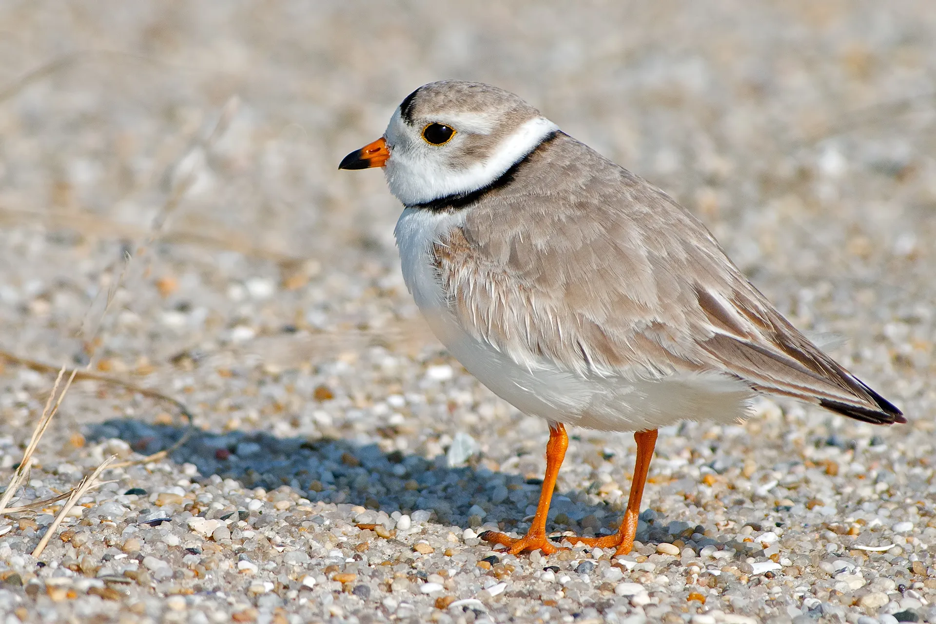
Piping Plover

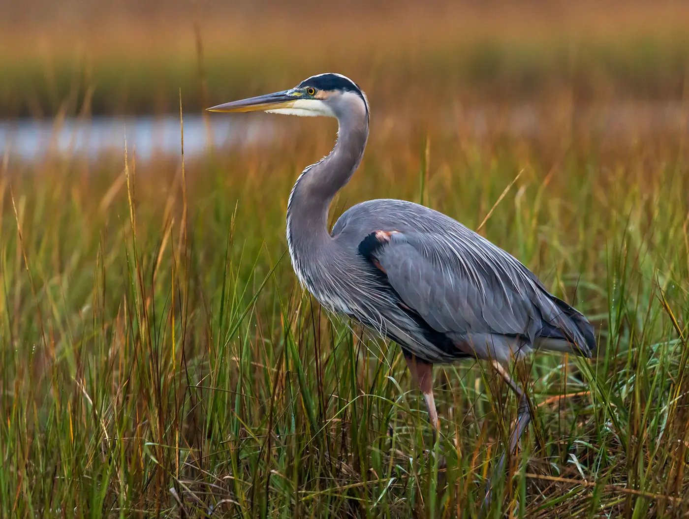
Salt Marsh Sparrow
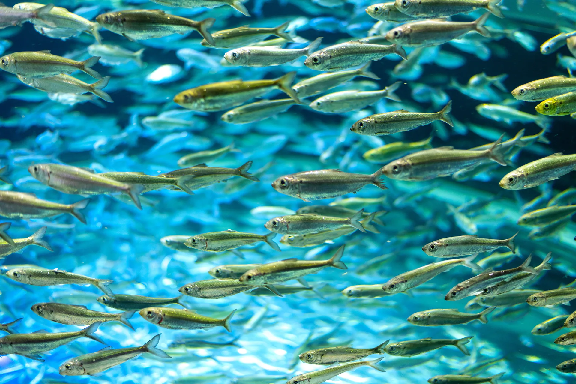
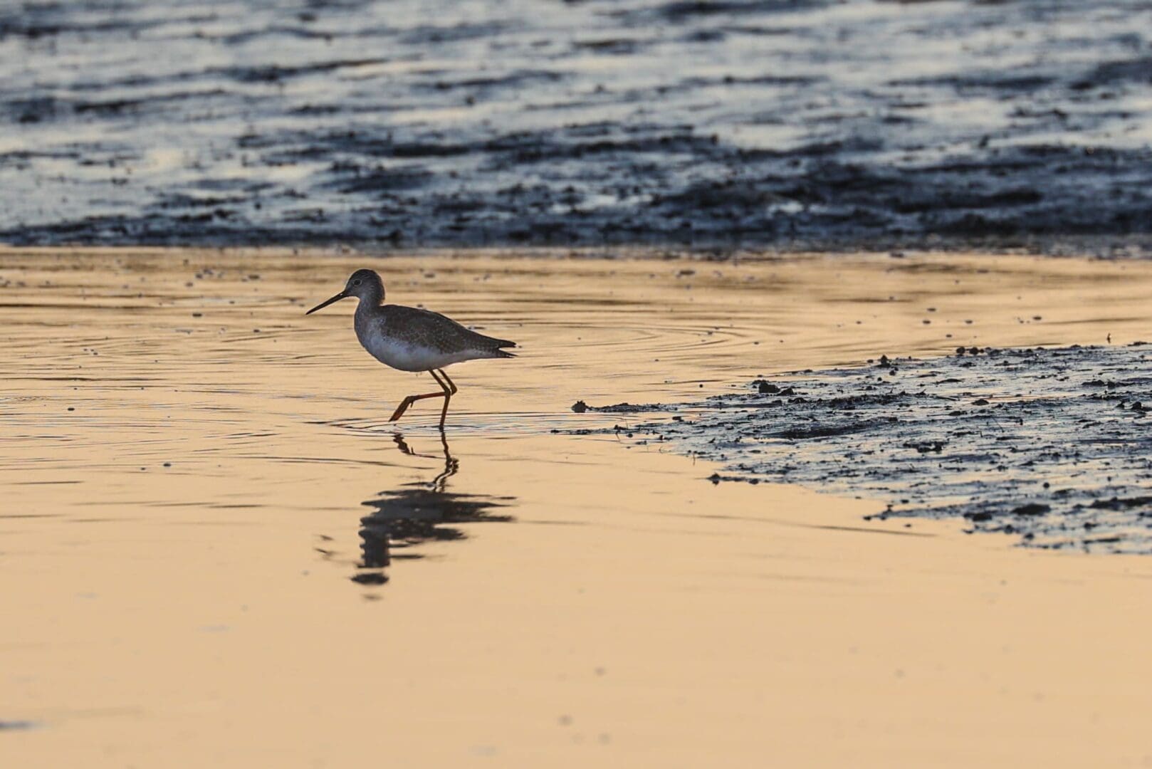
Diadromous Fish
Land Use & Demographics
Historically, humans were drawn to the Hampton-Seabrook Estuary to benefit from its abundant natural resources and critical ecological services. Dating back 4,000 years, Native Americans relied on the estuary for its rich shellfish and finfish populations, as well as its fertile land for farming. By the 17th century, European settlers utilized the estuary for food, both for farming and fish/shellfish harvesting. Infrastructure such as sawmills, windmills, grists, fulling mills, and dams were built along the rivers and creeks within the estuary’s watershed to harness energy from wind and water.
As more people settled in the area over the centuries, the New Hampshire seacoast became a hub for travelers as taverns and meat shops were erected and roads and bridges were expanded, with the mile-long bridge spanning over Hampton Harbor and connecting the towns of Hampton and Seabrook built in 1901. In the 20th century, the area was rapidly developed, including the Hampton Beach area by the 1930s, which resulted in the destruction of salt marsh and dune habitats and sedimentation of Hampton Harbor, the dredging of which continues to present day. Commercial and residential development along the U.S. Route 1 corridor brought to the area antique stores, restaurants, automobile dealers, and retail stores.
Community Historical Resources
- Hampton:Hampton Historical SocietyHampton Lane Library
- Hampton Falls:Hampton Falls Historical SocietyHampton Falls Free Library
- Seabrook:Seabrook Historical Society
Proportion of Land Use in the Hampton-Seabrook Estuary
Issues & Risks
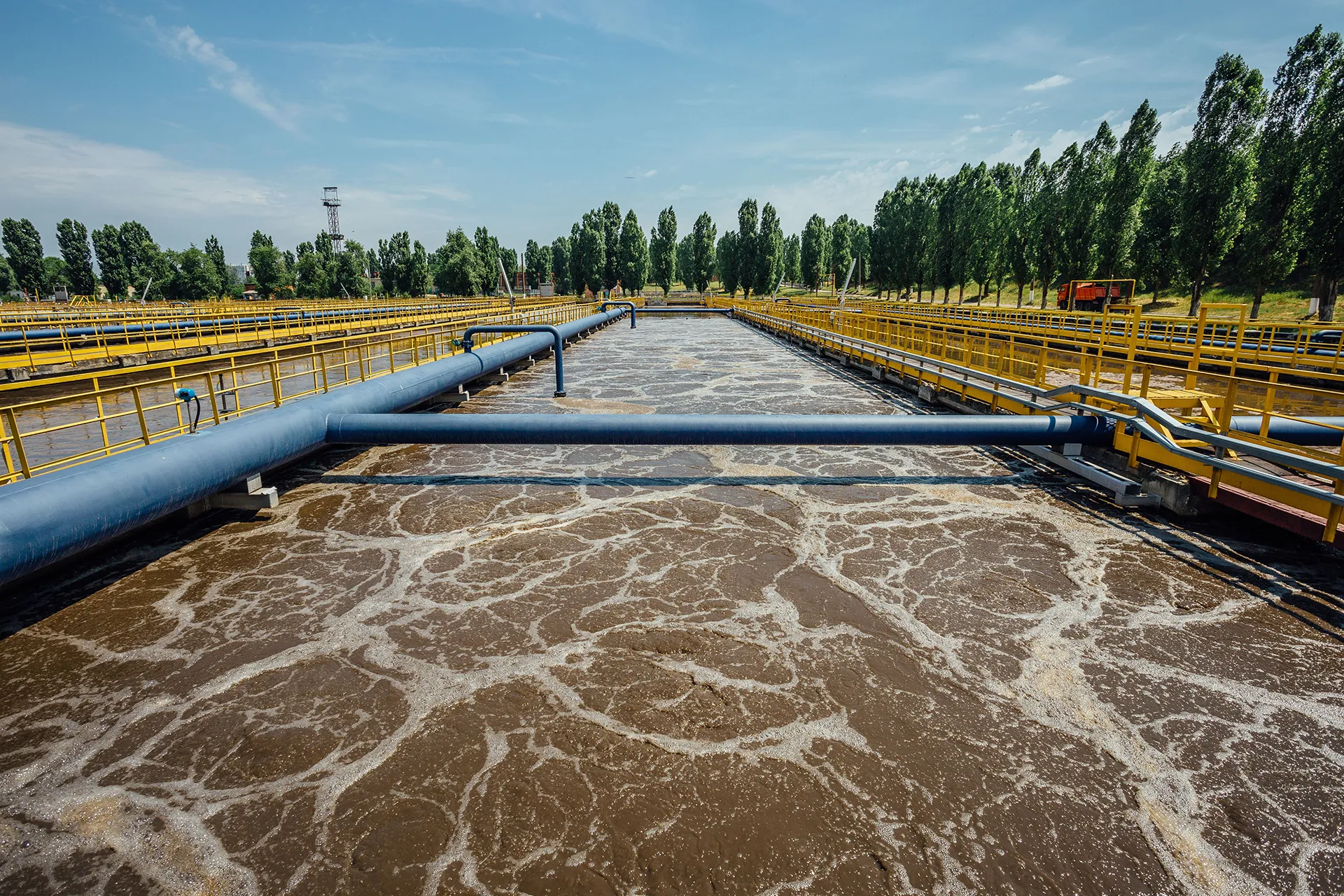
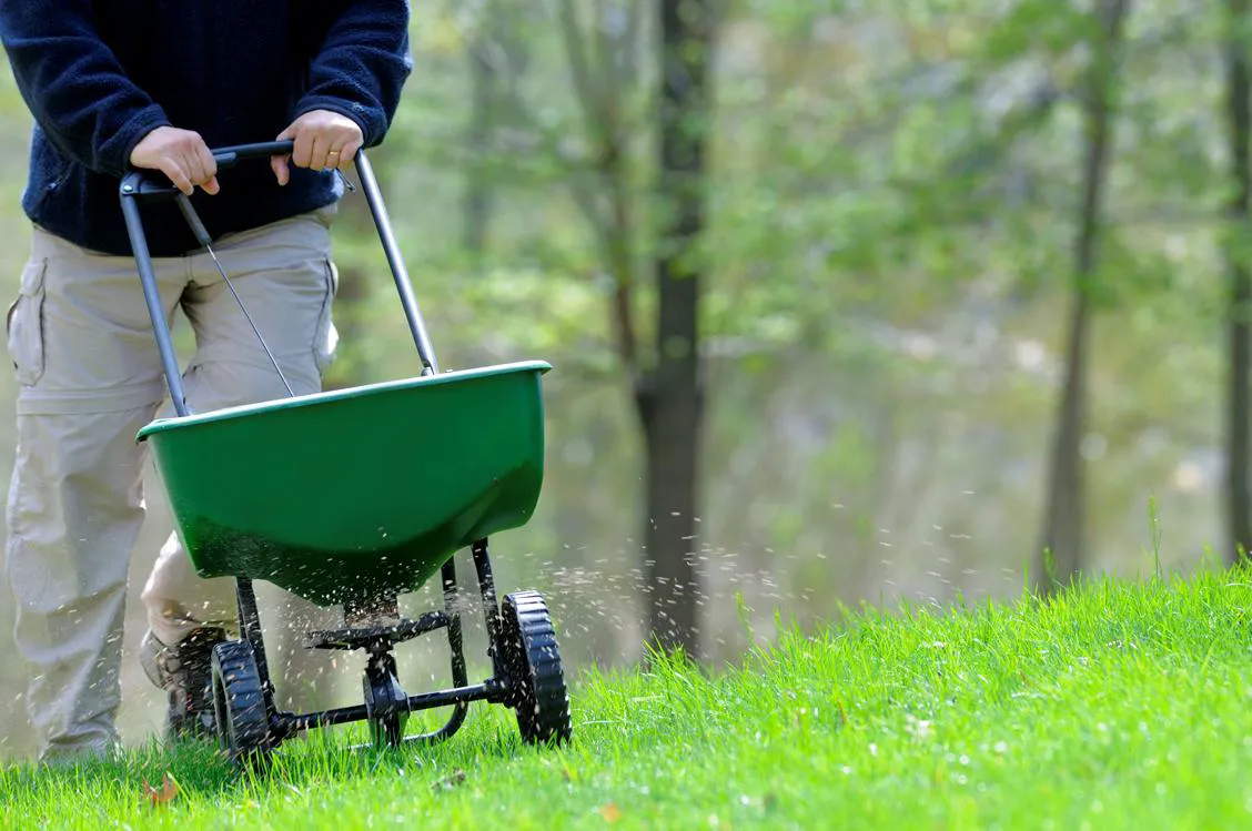
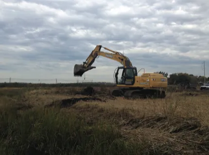
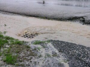
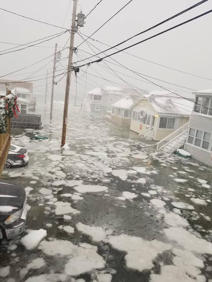
The land immediately surrounding the estuary and salt marsh is highly developed with residences, commercial businesses, roads, and other impervious surfaces. This development has fragmented or replaced critical wildlife habitat, generated stormwater runoff that conveys pollutants from impervious surfaces to the estuary, and constrained natural salt marsh migration in response to sea level rise. The combination of coastal inundation from sea level and groundwater rise and storm surges following large precipitation events are putting communities and infrastructure at great risk due to more frequent, intense, and prolonged flooding. The Hampton-Seabrook Estuary is at continued risk because of new development and increasing human population in the watershed, which will be compounded by the stress imposed by ongoing climate change. Impacts to infrastructure and critical facilities from enhanced flooding will come at a high economic and environmental price unless resiliency techniques are implemented.
0%
Hampton accounts for 42% of flood-related losses in Rockingham Country
Build a Floodsmart Seacoast
SHEA’s “Flood Smart” workshops aim to inform property owners and town officials of the risks of flooding and to help flood-affected property owners make better-informed decisions on how to make their property more flood resilient. Organized and presented in partnership with New Hampshire Departments of Environmental Services Coastal Program and the NHDEA Coastal Program, these workshop materials are a valuable resource for property owners in the estuary.
Explore Floodsmart Resources